
Novice
How do we know that the tectonic plates are moving?
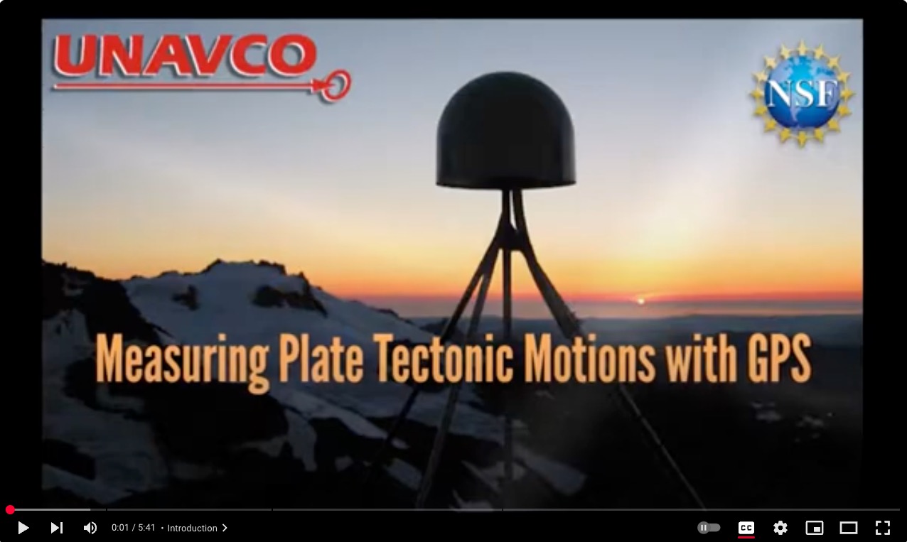
This animation, with a focus on the Western United States, shows how high-precision GPS networks help us understand plate tectonic motions and earthquake hazards around the world. Developed for the Geodesy Tools for Societal Issues (GETSI) project with funding from the National Science Foundation.
Why use GPS?
We encourage the reuse and dissemination of the material on this site as long as attribution is retained. To this end the material on this site, unless otherwise noted, is offered under Creative Commons Attribution (CC BY 4.0) license
