
6min 20s Novice Slovenian Spanish Greek
How were Earth’s layers discovered? What are they?
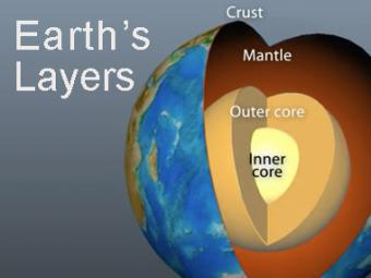
Earth’s interior is broadly grouped into three main layers on the basis of chemical composition: crust, mantle, and core. An egg analogy is used to show relative thicknesses, and a Big Hunk analogy illustrates how a material of a single composition can be either brittle or ductile depending on temperature. This animation shows briefly how scientists figured out where these layers were, what the layers are, and how the crust is often mistaken for the tectonic (aka lithospheric) plates.
CLOSED CAPTIONING: A .srt file is included with the downloiad. Use appropriate media player to utilize captioning.
Timecodes:
0:00 Intro
0:46 Seismic waves reveal layers
0:57 Three layers (like an egg?)
1:56 Basic layers
2:01 Crust chemistry
2:53 Mantle chemistry
3:46 Core: Inner and outer
4:47 Crust vs. plate? What’s the difference?
5:36 Earthquakes, volcano, magnetics
Students work first in small groups, and then as a whole class to compare predicted seismic wave travel times, generated by students from a scaled Earth model, to observed seismic data from a recent earthquakes. This activity uses models, real data and emphasizes the process of science.
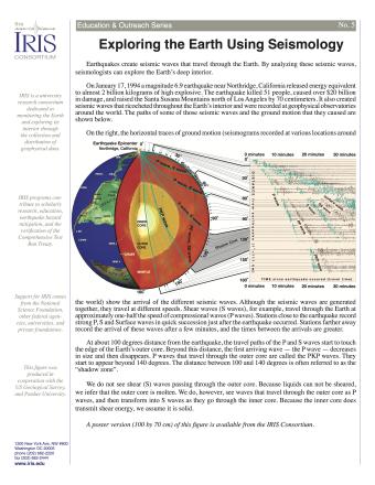
Earthquakes create seismic waves that travel through the Earth. By analyzing these seismic waves, seismologists can explore the Earth's deep interior. This fact sheet uses data from the 1994 magnitude 6.9 earthquake near Northridge, California to illustrate both this process and Earth's interior structure.
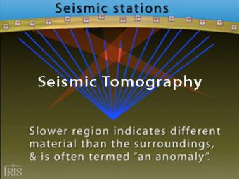
Seismic tomography is an imaging technique that uses seismic waves generated by earthquakes and explosions to create computer-generated, three-dimensional images of Earth's interior. CAT scans are often used as an analogy. Here we simplify things and make an Earth of uniform density with a slow zone that we image as a magma chamber.
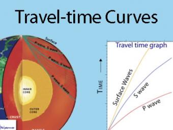
A travel time curve is a graph of the time that it takes for seismic waves to travel from the epicenter of an earthquake to the hundreds of seismograph stations around the world. The arrival times of P, S, and surface waves are shown to be predictable. This animates an IRIS poster linked with the animation.
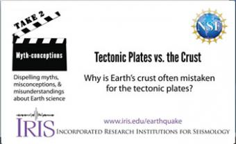
People often use the terms crust and tectonic plates interchangeably. It can be confusing because they are paired, and yet they are distinct from each other.
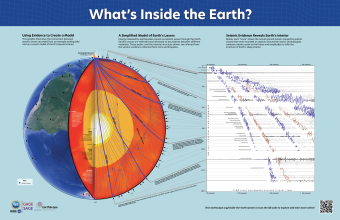
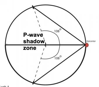
Seismic waves from earthquakes ricochet throughout Earth's interior and are recorded at geophysical observatories around the world. The paths of some of those seismic waves and the ground motion that they caused are used by seismologists to illuminate Earth's deep interior.
We encourage the reuse and dissemination of the material on this site as long as attribution is retained. To this end the material on this site, unless otherwise noted, is offered under Creative Commons Attribution (CC BY 4.0) license
