Novice
IRIS is an Educational Partner on the InSight Mission, with the goal of engaging students with seismic data from Mars. As the data is released, classrooms will be able to stream Martian seismic data using IRIS tools, allowing students to watch for marsquakes and meteorite impacts with us!
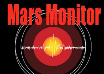
Link to the app: Mars Monitor
Learn more about the Insight Mission: www.iris.edu/insight
Directed and narrated by Dr. Tammy Bravo, seismologist, IRIS
Animation clips & photos from NASA/JPL-Caltech
Funding from the National Science Foundation
Not only an app for seismic data, but includes detailed map links to Martian:

This animation looks at a basic physical comparison of the Earth with our closest neighbor, Mars. But why would we make an animation about Mars? The reason we did it is because NASA is going to put a seismograph on Mars on the next InSight mission. We look forward to being able to "see" beneath the surface using earthquake signals, if there are any.
We encourage the reuse and dissemination of the material on this site as long as attribution is retained. To this end the material on this site, unless otherwise noted, is offered under Creative Commons Attribution (CC BY 4.0) license