Date: October 6, 2016 1h Advanced
The fundamentals of stratigraphy come from the study of modern deposits and sedimentay outcrops. Wells allow us to study subsurface stratigraphy with cores and logs, at single or multiple locations. We can also analyze subsurface geology using seismic reflection data, and these observations can then be turned into stratigraphic predictions with depositional models.
The lesson is divided into four (4) segments, 1) review the previous exercise from Lesson 19, 2) present the lecture, 3) introduce exercise part A, and 4) introduce exercise part B. For Segment 1, the review of the previous exercise has seven (7) slides, and will take ~10 minutes to explain. For Segment 2, the lecture has twenty (20) slides, and will take ~30 minutes to explain. Segment 3 contains eight (8) slides and will take ~10 minutes to explain, and Segment 4 has eight (8) slides and will take ~10 minutes to explain.
In exercise Part A, the students will use fictitious self potential (SP) logs from five (5) wells to do some well correlations. The introduction leads them in how to use the logs. First, they identify individual parasequences in each log (independently) using the coarsening/shoaling upward character for each parasequence. Then, they will look for the more significant flooding event in each well – a parasequence set boundary (PSSB). They will correlate the PSSB across the five (5) well cross-sections. Next, they will try to correlate individual parasequence boundary (PSB) across two (2), three (3), four (4), or for all five (5) wells. Students should work for ~30 minutes on this exercise.
In exercise Part B, students will use the inlines, crosslines and time slices from the previous exercise (Exercise 19) to map two (2) horizons: the top of the reservoir interval (cyan) and the base of the reservoir interval (yellow). The introduction illustrates how to transfer interpretation from an previously interpreted section/slice to an uninterpreted section/slice. Students are to complete the two (2) horizons and then generate a two-way time (TWT) structure map. Note that it is more time efficient to map both horizons simultaneously rather than one at a time. It is also time efficient for students to work in teams of two so that one can call out TWT values and the other can write the numbers on the base map. When contouring the TWT values, a contour interval of 100 ms is adequate. If they want to use a 50 ms contour interval, that is even better. Students should work ~45 minutes on this exercise.
After this lesson, students should be able to:
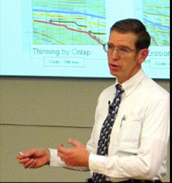
This course, based on teaching material from Dr. Fred Schroeder (formerly of Exxon/ExxonMobil), reflects on the geology and geophysics basics for the petroleum industry. General geology and basic geophysics are not required, but helpful with the material.
We encourage the reuse and dissemination of the material on this site as long as attribution is retained. To this end the material on this site, unless otherwise noted, is offered under Creative Commons Attribution (CC BY 4.0) license