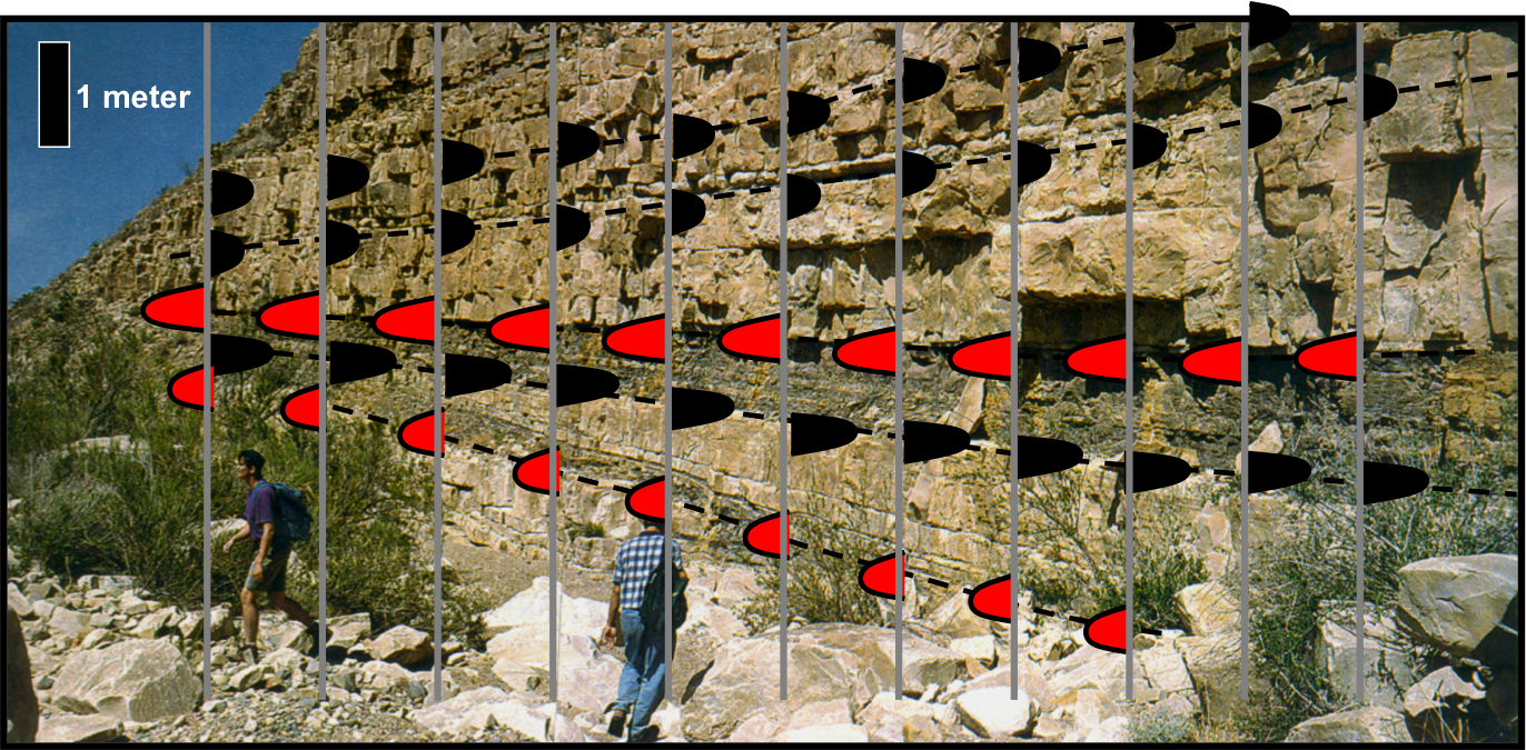
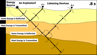
Seismic reflection provides information about the subsurface stratigraphy and allows geoscientists to makes inferences regarding the geologic structure. Seismic reflection works off of the basic principle of impedance contrasts between two different geologic units, where either the density, velocity, or both is different between the two structures. This lesson introduces the concepts of frequency, period, and wavelength, and their relationships to velocity and density structure. An introduction to waveform polarity is included, along with the standard Society of Exploration Geophysicists (SEG) convention.
This lesson can begin with a review of the exercises conducted during the lesson on "The Seismic Method", which could take approximately twenty (20) minutes. The lecture material presented here contains twenty-three (23) slides, and could take approximately forty (40) minutes to present. An introduction to the three (3) short exercises presented here will take approximately fifteen (15) minutes to present. Thus, approximately 60-65 minutes are needed for this lesson.
At the end of the lesson, the student should be able to:
This course, based on teaching material from Dr. Fred Schroeder (formerly of Exxon/ExxonMobil), reflects on the geology and geophysics basics for the petroleum industry. General geology and basic geophysics are not required, but helpful with the material.
Learn about land and marine seismic acquisition methods and processing techniques, and their use in the petroleum industry. The maps developed from seismic acquisition and interpretation can help to identify the location of hydrocarbons.
We encourage the reuse and dissemination of the material on this site as long as attribution is retained. To this end the material on this site, unless otherwise noted, is offered under Creative Commons Attribution (CC BY 4.0) license